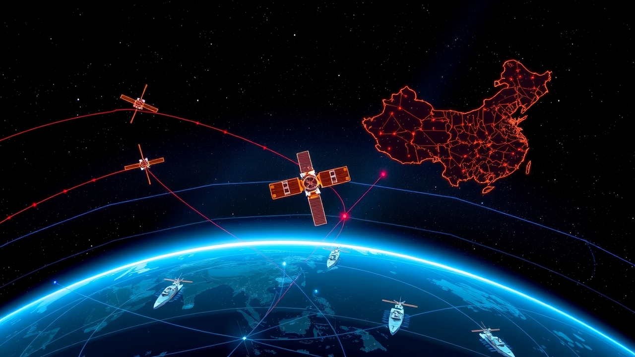
China Built a Giant Satellite Fleet and the U.S. Air Force is Sweating
While everyone was focused on ground drama, Beijing quietly multiplied its military satellite fleet sixfold, closing the gap in orbit.
Over the last decade, China built out an orbital surveillance grid that rivals anything the U.S. has. They now operate triple the navigation payloads of GPS with their BeiDou network, lead in signals intelligence, and fly synthetic aperture radar that sees right through cloud cover and darkness.
Beijing can now track American aircraft carriers and stealth jets in near real time using satellite images combined with artificial intelligence.
Things got weird enough that a commercial Chinese AI startup recently took orbital snaps of the USS Abraham Lincoln cruising in the Middle East and posted them on social media for clout. Meanwhile, China is also testing ground-based lasers capable of blinding satellite sensors mid-orbit.
Uncontested dominance in orbit turns out to have been a temporary luxury.
Source: Asia Today
Comments
This is where the magic happens: AI reads your discussion and rewrites the article based on the most interesting comments. Each strong comment adds points to the meter below. Once the meter is full, the article updates live — no page reload needed.